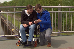
Dr. Benjamin Tannert from Prof. Johannes Schöning's HCI working group would like to make the journey from A to B even easier for wheelchair users. "With navigation systems, for example, that tell the user to anticipate a traffic light, the curb is not lowered at the next. To this end, he investigated which routes people in wheelchairs use most and in 15 large cities in Germany asked the planning offices and the Federal Statistical Office to do so. The answer: "We don't know, but would also like to have such information". So Tannert developed his own idea together with master students to compare paths for wheelchair users with paths for pedestrians. The starting point for heavily travelled paths for wheelchair users are first of all toilets for the disabled and "points of interest" within a radius of two kilometres were chosen as destinations. This resulted in routes that could be evaluated in detail. The result of this evaluation showed that there are not only structural barriers for wheelchair users, but also barriers that arise due to missing information in the navigation systems. For example, due to a lack of information about the gradient, wheelchair users may be shown paths to follow, but these cannot be overcome due to the gradient being too high.
The next step will be a 360-degree camera that Benjamin Tannert attaches to his wheelchair. With the camera shots he wants to capture obstacles similar to Google Street View. He then plans to develop an automatic algorithm that can evaluate the images and recognize barriers. The information will then flow into navigation systems that show wheelchair users the safest and most convenient route.
http://www.rtlnord.de/nachrichten/bremer-informatiker-entwickelt-navi-fuer-rollstuhlfahrer.html

